




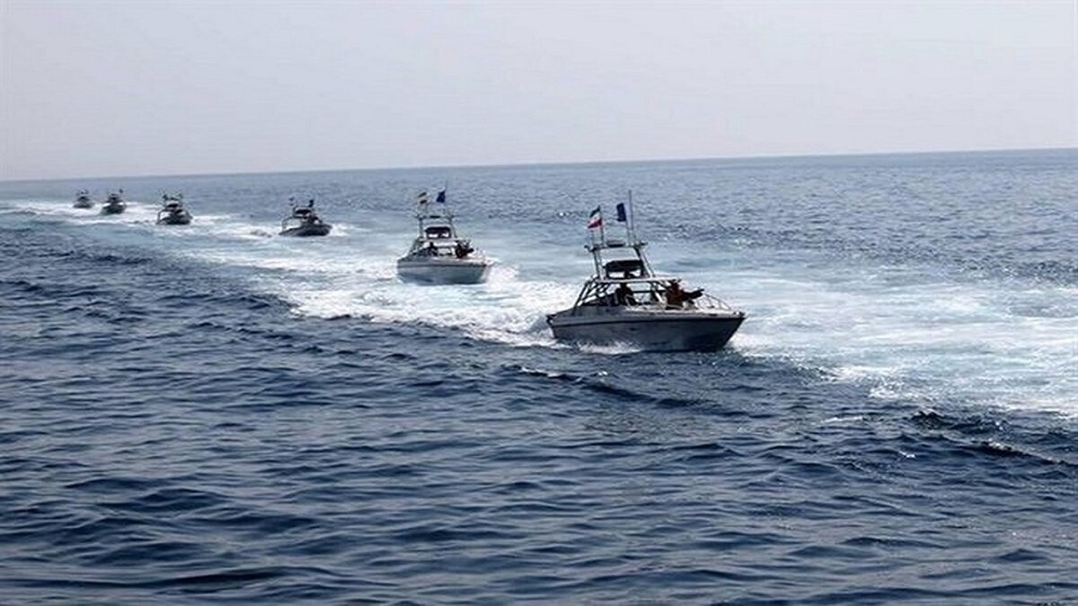

The present Hormuz challenge is not primarily a question of “Can a navy open a strait?”—it is a multi-market confidence failure in which risk pricing (war-risk insurance, P&I buybacks, and freight), navigational integrity (GNSS interference and AIS anomalies), and credible protection jointly determine whether commercial traffic returns. In this crisis, the strait can become “functionally closed” even without a hard physical barrier if insurers, shipowners, charterers, and crews conclude that expected loss (and uncertainty) overwhelms voyage economics.
Recent official and market evidence points to an extreme confidence shock: UNCTAD estimates daily ship transits fell from an average of 129 (1–27 Feb) to 6 (1–29 Mar)—a 95% drop—while JMIC reports routine traffic collapsing from a historical average of ~138 vessels/day to single‑digit daily levels in early March.
The economic stakes remain global and immediate. The latest International Energy Agency collective action to release 400 million barrels—the largest IEA action on record—explicitly acknowledges that export volumes of crude and refined products are “less than 10% of pre‑conflict levels” and that bypass options are limited. This is, at best, a bridge—not a solution.
A publication‑ready reopening strategy should therefore be designed as a multi‑pillar “re‑insurability + re‑navigability + re‑securability” package with measurable success criteria. This article proposes an Economic Navigability Index (ENI) as an operational metric and recommends a 0–12 month roadmap that integrates: (i) an insurance backstop and standardised convoy contracts; (ii) a phased maritime security framework aligned with the International Maritime Organization safe‑passage workstream; (iii) realistic mine‑countermeasures (MCM) and escort concepts of operations under current force constraints; (iv) logistics bypass and storage measures to reduce leverage and stabilise physical supply.
The environment is electronically degraded and operationally hazardous
Military and naval feasibility under real constraints
A credible reopening plan must avoid a common analytical trap: treating the problem as if the only objective is physical lane clearance. In practice, reopening is a combined task: suppress launch platforms and ISR that enable attacks, clear or deter mines, reduce the probability of miscalculation in an electronically degraded environment, and provide enough predictability that insurers and shipowners accept voyages.
The environment is electronically degraded and operationally hazardous. JMIC reports >600 GNSS disruption events in 24 hours across the approaches and adjacent seas, with positional offsets and AIS anomalies affecting several hundred maritime assets; MARAD similarly warns of significant spoofing/jamming and recommends redundancy (radar ranges, visual bearings, and cross-checking ECDIS). This raises collision risk in congested anchorages and increases the chance that commercial vessels are misidentified, misrouted, or coerced. Any convoy scheme must therefore include navigation‑integrity protocols as a first‑order security measure, not an afterthought.
Mine countermeasures: timelines are measured in weeks, not days, in contested conditions. CRS analysis has long emphasised that even if the U.S. ultimately restores shipping, timelines depend on whether a closure attempt relies on mines, missiles, drones, and coastal systems and can take “days, weeks, or perhaps months”. In the earlier CRS quantitative scenario (Iran lays several hundred mines; the U.S. suppresses anti-ship cruise-missile threats first), reopening could take 37 to 112 days (9–72 days of suppression + 28–40 days of minefield clearance). The key policy lesson is durable: MCM speed is bounded by detection/verification and force protection, especially when mines are mixed with decoys and when other threats remain present.
MCM capacity is structurally tighter than many legacy plans assume. A critical new constraint is force posture after 2025: USNI reporting and Proceedings analysis indicate the last forward‑deployed Avenger‑class MCM ships were retired from Bahrain in September 2025 and that the Navy shifted the mission to Independence‑variant LCSs with MCM packages; Proceedings further argues that the MH‑53E airborne MCM detachment in the Gulf was shut down in August 2025, leaving no dedicated airborne MCM capability and limited immediately available LCS capacity. USNI News reports that only one of the assigned LCSs may be immediately taskable (with others away for maintenance), underscoring that the “paper” force is not the “available now” force.
An actionable way to express MCM effort: “asset‑days” and phased lane objectives. Using CRS lane geometry (two lanes, each two miles wide, separated by a two‑mile buffer) and the reality that traffic can restart with a single, well‑marked, constantly monitored corridor, the initial objective should be “one lane open” rather than “full pre‑war throughput”. CRS 2012’s 28–40 day estimate for adequately clearing minefields under a heavy mining scenario offers a practical planning anchor; current reduced capacity implies that without coalition augmentation, the timeline risk skews longer. (This article treats that as a risk range—not a promise.)
Escorts and convoys are feasible—but not always available and not always confidence‑restoring. Reuters reports the U.S. Navy told industry that escorts were “not possible for now” amid high risks; CRS likewise notes scepticism that escorts alone would induce a near-normal flow, particularly if escorts must operate closer to the coast where threats are concentrated. MARAD guidance for U.S.-flagged vessels (e.g., standoff 30 nm from U.S. naval vessels; answer coalition VHF calls; ignore Iranian diversion instructions; eastbound transits close to Oman where safe) is effectively a partial “proto-convoy protocol” already in existence. Scaling this into a multinational convoy system is possible, but it must be designed around (i) limited escort supply, (ii) predictable schedules, and (iii) rules that reduce mistaken identity in a jammed GNSS/AIS environment.
Strikes versus escalation risk: the military optimum may diverge from the commercial optimum. CRS reports recent U.S. and Israeli operations may have degraded Iran’s ability to mine or “close” the strait; CENTCOM’s commander reported at least 17 Iranian ships destroyed as of 3 March and claimed no Iranian ships were underway in key waters. Yet CRS also highlights that “closure‑like conditions” can arise from threats alone if market participants conclude costs exceed benefits. Therefore, an escalation‑heavy approach that raises attack risk—even if tactically effective—can slow reopening by re‑inflating the insurance/freight stack.
Policy instruments and legal architecture for reopening
Reopening is best approached as a transaction‑cost problem: governments must reduce uncertainty and tail risk enough that private actors (insurers, shipowners, charterers) resume contracting. The tools divide into insurance/finance, operational coordination, and legal‑regulatory measures.
Iran’s…currency continues to fluctuate, inflation is soaring, oil exports are restricted, and foreign investment is non-existent.
A state‑backed insurance backstop should be multinational, criteria‑based, and explicitly tied to convoy compliance. The U.S. DFC plan provides an immediate template: a revolving facility insuring losses up to ~USD 20bn, initially hull & cargo, applying only to vessels meeting criteria and coordinated with CENTCOM. A pragmatic multinational analogue would:
- pool sovereign guarantees (or callable capital) and purchase private underwriting/claims capacity;
- require compliance with convoy protocols (routing, reporting, AIS policy consistent with SOLAS obligations, GNSS‑resilient navigation checklists, crew‑protection measures);
- publish an eligibility whitelist (flag/ownership/compliance) to reduce sanctions ambiguity;
- price cover dynamically but with a cap (a “premium corridor”) to prevent panic repricing.
Insurance is necessary but insufficient: operational maritime frameworks matter. The IMO Council has condemned threats and attacks and called for a safe maritime framework, and the IMO Secretary‑General stresses diplomacy and coordinated operational solutions. IMO reports 21 attacks, 10 seafarer fatalities, and around 20,000 seafarers still aboard vessels in the wider Gulf region, framing evacuation/humanitarian corridors as part of the maritime solution set. A reopening plan that ignores seafarer welfare will fail commercially regardless of naval capacity.
War‑risk listed areas and regulatory triggers must be treated as policy inputs. The Joint War Committee’s JWLA‑033 expands the listed areas and explicitly includes region‑wide waters and multiple states. JMIC anticipates that listed‑area expansion triggers voyage declarations and additional premium negotiations under hull war policies, acting as a practical gating factor independent of legal “closure.” Therefore, reopening success must be measured by re‑normalising war‑risk boundaries and AP pricing—not solely by naval announcements.
International law establishes a baseline duty not to hamper transit passage. UNCLOS Part III provides that transit passage in straits used for international navigation “shall not be impeded” (Article 38) and that states bordering straits “shall not hamper” transit passage and shall give publicity to dangers (Article 44). This does not, by itself, restore safety, but it strengthens the legal foundation for coordinated diplomatic pressure, IMO action, and potential UN‑linked maritime frameworks that support safe passage and neutral humanitarian corridors.
Policy option comparison
| Instrument | What it directly fixes | Implementation mechanics | Advantages | Only a durable answer to mining |
|---|---|---|---|---|
| Government (or multinational) reinsurance backstop | Limits/failure modes | Criteria‑based facility; private underwriting/claims; attach to convoy compliance; publish eligibility list | Fastest lever to reduce the “fear premium”; restores contracting | Does not reduce kinetic risk; if attacks continue, usage may be low |
| Standardised convoy protocol + NCAGS integration | Coordination failures; mis‑ID risk | Mandatory reporting windows, routing lanes, GNSS‑resilient nav checklist; VHF procedures; deconfliction rules | Raises predictability; reduces collision/mistake risk in jamming | Escort shortfalls; political disputes over protected flags |
| Coordinated deterrence posture (multinational) | Reduces the probability of attack/coercion | Visible ISR, rapid response, defensive CAP/air‑defence, sanctions signalling | Can reduce perceived risk without immediate escalation | Miscalculation risk; visible posture can itself raise tensions |
| MCM surge + corridor clearance | Physical mine risk | Coalition MCM task group; phased “one‑lane first”; continuous monitoring | Reduces the probability of attack / coercion | Weeks‑to‑months timelines; current capacity constraints |
| Benchmark/market stabilisation (SPR + index governance) | Price spikes; local benchmark malfunction | Coordinated releases; temporary benchmark rule adjustments (e.g., Dubai index) | Buys time; lowers near‑term price | Finite; cannot replace chokepoint throughput |
Scenarios, quantitative estimates, and a 0–12 month roadmap
A useful scenario frame is to treat the system as moving from “functional closure” to “commercial reopening” when three conditions hold simultaneously:
- daily transits recover to a stable fraction of baseline;
- war‑risk AP pricing and cancellation risk normalise;
- Incident rates and navigation‑integrity degradation fall enough to stabilise crew acceptance and insurers’ tail‑risk assessment.
Economic Navigability Index target
This article proposes ENI (0–100) as a composite operational metric (an original contribution for policy monitoring), defined as:
- Transit score (0–40): observed daily transits as % of pre‑crisis baseline (UNCTAD/JMIC).
- Insurability score (0–30): hull war‑risk AP and P&I buyback availability/pricing relative to pre‑crisis norms.
- Security score (0–20): attack incidence and credible threat level (IMO/JMIC/UKMTO).
- Navigation integrity score (0–10): GNSS disruption prevalence and AIS anomaly rate (JMIC/MARAD).
Success criterion: ENI ≥ 70 maintained for 30 consecutive days, plus sustained availability of cover (no rolling mass cancellations) and a stable convoy schedule.
Scenario table (0–12 months)
| Scenario | Throughput (end‑state at month 12) | War‑risk hull AP range | Oil price path anchor | Character of reopening |
|---|---|---|---|---|
| Best case | 80–95% of baseline flows | 0.5–1.0% | Prices ease from >$100 towards ~$85–$95 by late period | Negotiated de‑escalation + operational safe‑passage; insurance backstop rarely used but confidence‑enhancing |
| Likely | 60–80% | 1.5–2.5% | Prices remain >$100 through Q2 then ease in H2 | Partial reopening under convoy corridors; intermittent incidents; persistent higher freight and risk premia |
| Worst case | 10–30% | Prices ease from >$100 towards ~$85–$95 by the late period | $120–$150+ episodically; recession risk rises | Sustained mining/attacks or repeated escalation; MCM constrained; insurance cancellations frequent; stock releases depleted faster |
Scenarios, quantitative estimates, and a 0–12 month roadmap
Recommended multi‑pillar strategy
A successful package should be enacted as a single “deal‑like” bundle: each pillar partially compensates for another’s weakness. The aim is not perfection; it is to push ENI above the commercial viability threshold and keep it there long enough to normalise expectations.
Pillar one: Re‑insure the corridor (commercial viability).
Create a multinational reinsurance facility modelled on the DFC approach (criteria‑based, revolving limits, private underwriting/claims, rapid issuance) and explicitly link eligibility to convoy compliance. The facility’s design should anticipate two realities documented in the sources: (i) listed‑area expansion triggers AP negotiations and can gate decisions; and (ii) P&I war‑risk dynamics shift costs onto charterers via buybacks. Therefore, the facility must cover not only hull and cargo, but also provide a standardised pathway for charterer buyback products (even if through private markets) to prevent “contract failure” at fixture time.
Indicative cost/risk: the headline figure is callable/at‑risk capital (e.g., USD ~20bn in the current U.S. model). Budgetary outlay depends on actual losses; the near‑term political objective is to cap premium volatility rather than subsidise routine trade indefinitely.
Pillar two: Re‑navigable operations (reduce accidents and misidentification).
Institutionalise MARAD/JMIC guidance into a regional navigation integrity protocol: mandatory redundancy checks, AIS policy governance consistent with SOLAS obligations (JMIC explicitly notes AIS is governed by SOLAS), and structured reporting via UKMTO/NCAGS equivalents. In a GNSS‑degraded environment, navigation integrity is security: it reduces collisions, reduces false tracks, and reduces misidentification by patrol forces.
Metrics: GNSS disruption counts and AIS anomaly rates (from JMIC‑type monitoring), plus accident/near‑miss statistics in designated corridors.
Pillar three: Re‑secure the corridor (phased convoy + deterrence + MCM realism).
Adopt a one‑lane‑first convoy model with fixed windows (e.g., two escorted convoys/day) and publish corridor coordinates and rules. Use the CRS lane width geometry (two‑mile lanes plus buffer) to justify initial “reduced throughput but high predictability.” Couple this with a realistic MCM plan that acknowledges current constraints: post‑2025 MCM posture is tighter, with legacy Avenger ships retired and reduced airborne MCM. Therefore, coalition augmentation (regional and allied MCM assets) is not optional if mining escalates.
Escalation control: CRS is explicit that closure‑like effects can occur even without major kinetic action if the market loses confidence. Therefore, deterrence must be paired with communications that reduce uncertainty, not intensify it.
Pillar four: Reduce leverage with logistics (bypass + ports + stocks).
Maximise bypass pipelines and alternative terminals to the extent physically feasible (East‑West, Habshan–Fujairah), while recognising that EIA estimates bypass capacity (~4.7 mb/d) is far below baseline flows (~20.9 mb/d). Use IEA/SPR releases strictly as a bridging instrument while corridor governance and MCM work proceeds; DOE’s stated ~120‑day delivery profile indicates the scale and speed limits even for a major SPR action.
Implementation checklist and measurable metrics
| Workstream | First 30 days deliverable | AP stabilises below ~2%, and cancellation frequency declines | Metric of success |
|---|---|---|---|
| Insurance backstop | Eligibility rules + claims administrator + premium corridor | Multinational participation + scaled limits | Lane availability is maintained without prolonged stand‑downs |
| Convoy protocol | Published corridor + reporting windows + standard charterparty clauses | Two reliable convoy windows/day; incident response drills | Transit counts recover; fewer refusals to quote cover |
| Navigation integrity | GNSS‑resilient bridge checklist mandated for corridor | Verified reduction in collision/near‑miss risk | GNSS disruption impact mitigated; fewer AIS anomalies affecting routing |
| MCM readiness | Coalition MCM tasking plan; prioritised “one lane” objective | Clearance and continuous monitoring loop | Lane availability maintained without prolonged stand‑downs |
| Logistics bridging | Bypass pipelines maxed; port congestion management | Storage/port throughput stabilised | Inventory draw slows; freight indices ease |
| Humanitarian/seafarer safety | Evacuation framework in place | Regular crew rotation corridor | Seafarer safety incidents decline; stranded numbers fall |